Survival meter
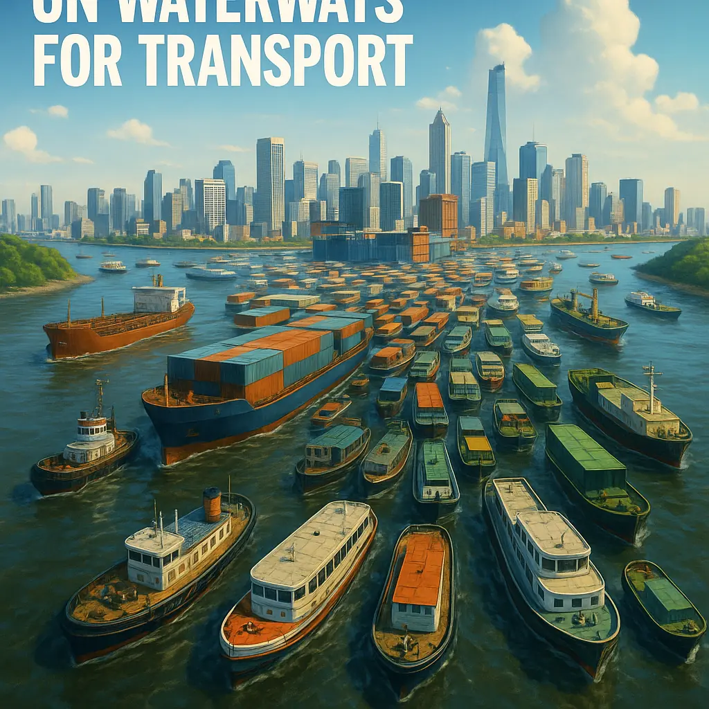
Imagine streets emptied of buses, taxis and delivery vans. Canals, rivers and coastal channels become the only arteries of movement. People, goods and services would flow on water, not asphalt.
The picture is romantic at first: gondolas, ferries and floating markets. The reality would be raw, expensive and unpredictable. Cities would scramble to re-engineer mobility, public health, trade and even how neighborhoods connect to water.
Timeline of consequences
Immediate chaos and improvisation
Public transit grinds to a halt where there are no water links. Roads become stranded infrastructure. Authorities declare emergency transport corridors along rivers and ports. Private operators convert trucks into temporary barges. Pedestrian ferries appear at busy crossings, often overloaded.
- Emergency cargo routes prioritized for food, medicine and fuel.
- Ad hoc floating docks and ramps appear at bus stops and plazas.
- Major traffic choke points shift to bridges and ferry terminals.
Rapid retrofits and rationing
Cities with existing canals pivot fastest. They retrofit docks, reinforce quays and license small-boat fleets. Where rivers are narrow or seasonal, authorities ration routes and cargo, imposing permits and time windows.
- Bulk freight shifts to larger barges, but delivery density drops.
- Public transit becomes a mix of scheduled ferries and on-demand water taxis.
- Supply chain delays force rationing of nonessential goods.
Engineering time and social sorting
Cities invest in locks, dredging and new canals. Waterfront real estate spikes. Wealthier districts gain direct dock access and private fleets. Suburbs and inland neighborhoods face exclusion unless linked by feeder waterways or expensive land connections.
- Port capacity expanded, at environmental cost.
- New industries arise: boat manufacturing, dock engineering, water logistics.
- Urban planning favors linear development along water corridors.
System optimization and new rhythms
Networks mature. Predictable schedules, standardized vessel sizes and integrated ticketing replace improvisation. Cities learn to move commuters in platoons and goods in consolidated loads. Travel times become longer on average, but reliability improves.
- Per-capita vehicle kilometers fall, while per-trip duration rises.
- Goods are pre-positioned at hubs to reduce last-mile water runs.
- Many bridges are retrofitted for pedestrian and bike access to docks.
New urban form and ecosystems shifting
Coastal and riverside land use reshapes into ribbons of commerce and dense housing by water. Inland neighborhoods either adapt with canals or decline. Sediment dynamics and salinity changes alter fisheries and wetlands, sometimes boosting biodiversity, other times collapsing habitats.
- Some cities build inland reservoirs and canals to link former neighborhoods.
- Traditional road-dependent suburbs shrink or transform into floating neighborhoods.
- Long-term flood management and sea-level planning dominate city budgets.
A different civilization of cities
Where water routes prove sustainable, cultures shift toward slower, scheduled movement. Trade networks consolidate at major water hubs. Where water access is poor or destructive, cities decline or relocate. Human settlement patterns mirror hydrology more than geology.
What science says
Water transport is efficient for mass freight. Moving a ton by barge uses far less energy than moving it by truck over land. But water has limits. Speed is low. Access points matter. A single wharf serves many people, while roads can serve homes directly.
Hydrology and seasonal variability dictate performance. Rivers can be fast and deep in spring, shallow in late summer. Tides reverse flows and change docking schedules. Silt builds up. Dredging keeps channels open, but that moves sediments and pollutants downstream.
Engineering responses would include:
- Locks and canals to bypass natural gradients, enabling continuous routes where none existed.
- Standardized vessel designs to fit urban locks and low bridges.
- Floating infrastructure, from modular docks to barge-based warehouses, to shrink the land-based last mile.
Energy and emissions are a mixed bag. Electric ferries running on clean grids cut urban pollution. Diesel tugs and dredges increase local contamination. Concentrating transport on waterways reduces road congestion and its emissions, but the net climate outcome depends on fuels, load factors and extra dredging energy.
Public health risks shift. Waterborne pathogens, stormwater contamination and localized air pollution near ports can rise. Conversely, fewer tailpipes in dense neighborhoods lowers street-level particulate matter. Waste management would need new systems so ships do not become mobile refuse dumps.
Could anything survive?
Individuals and planners would face practical trade-offs. Homes need new access, cities need resilient hubs, and supply chains need redundancy. Here are concrete steps people and local authorities could take.
For residents:
- Learn basic boat handling and water safety. A city that runs on water will expect you to cross by ferry or small craft.
- Retrofit ground-floor access with ramps and floating gangways if you live by the water.
- Stock lightweight, high-value emergency kits. Delivery cadence will slow, so keep two weeks of essentials on hand for critical medicines and food.
- Think vertically for storage. If docks are your only entry for supplies, consolidate deliveries into fewer, larger shipments.
For city managers and planners:
- Map redundancy. Identify neighborhoods with poor water access and prioritize feeder canals, shuttle services or hybrid road-water links.
- Invest in modular docks, standardized quay heights and interoperable ticketing for private and public operators.
- Prioritize clean propulsion. Electrify ferries where the grid permits, and restrict high-emission vessels near dense housing.
- Fund continuous dredging where needed, but pair it with sediment management and habitat restoration to reduce ecological harm.
- Design emergency response boats and floating hospitals. Evacuation by water is feasible, but requires prepositioned assets and trained crews.
For businesses and supply chains:
- Consolidate shipments to reduce last-mile voyages.
- Use transshipment hubs: large barges move bulk cargo between ports, then smaller craft do local deliveries.
- Reconfigure retail and warehousing along waterfront ribbons to reduce inland transfers.
Prepare for uneven outcomes. Cities with dense, navigable waterways adapt faster. Inland, hilly or arid cities may suffer chronic isolation unless substantial infrastructure is built.